
TABUK CITY, Kalinga -The Office of the City Agricultural Services (OCAS) has begun geotagging agricultural lands in Barangay Agbannawag, today, April 13.
Agricultural Technologist Felomina Nalog of OCAS said that this activity is necessary to get an accurate data of the total area of agricultural lands for planting rice, corn and other agricultural products in the said barangay, including the volume of production that these farm areas could possibly produce.
Through this geotagging, the OCAS will be able to validate if the land area declared by the farmer-beneficiaries in the Registry System for Basic Sectors In Agriculture (RSBSA) form is correct.
Using a Global Positioning System (GPS) device for accurate data, the OCAS targets to geotag all farm lands in all the barangays of the city. However, to date, only Barangays Balong and Cabaruan are finished, considering the area of these lands and the limited number of workers from the OCAS doing the geotagging.
Before the actual geotagging, workers from the OCAS interviewed the farmers using the Farmers Profile Form (FPF) to determine the following information: farm location, farm lot number, name of owner, name of actual tiller, RSBSA Reference Number and number of parcels of land. They also wanted to know the number of hectares each farmer has dedicated for rice, corn, vegetable, orchard and fruit tress production, as well as fishpond.
According to Nalog, there are at least 1,020 farmers in Barangay Agbannawag.
By Darwin S. Serion
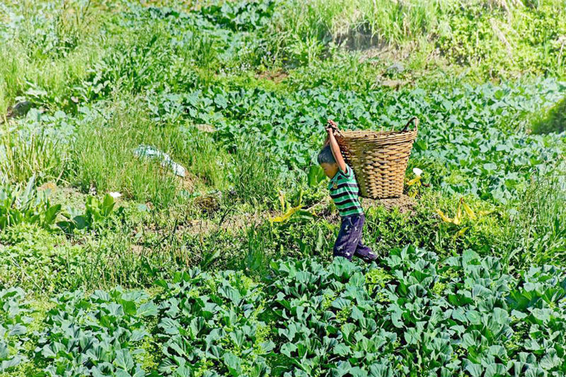
File photo by: Joseph B. Manzano


