
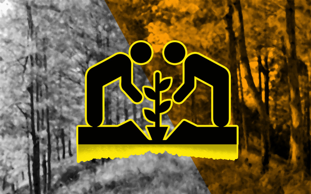
The City Council, during last Monday’s regular session, approved on third reading a proposed ordinance to identify the landslide-prone areas in the city feasible for tree planting programs and appropriating funds for the said purpose.
The ordinance aims to identify the landslide-prone areas from the Mines and Geosciences Bureau (MGB) mapped out areas that are feasible for tree planting where sustainable plans shall be adopted to include the same as tree planting areas as a move to mitigate the effects of landslides and contribute to the increase of the city’s forest cover.
The council tasked the City Engineer’s Office (CEO) to identify from the MGB mapped out landslide susceptible areas those feasible for tree planting and it may also recommend projects that would help the area; the City Environment and Parks Management Office (CEPMO) shall include the said areas identified by the CEO for tree planting purposes and ensure appropriate tree species availability for planting in the area by capable tree planters and shall ensure that survival of the tree species planted in that area and may recommend plants to ensure that the area is feasible for tree planting; the City Planning and Development Office (CPDO) shall consider and act that the said areas susceptible to landslides should be retained as public lands owned by the city and the City Disaster Risk Reduction and Management Office (CDRRMO) shall coordinate with the aforesaid offices as to its programs that help in the mitigation on the effects of landslides in the identified tree planting areas susceptible to landslides.
The council stated that the appropriated funds for the project shall come from the CDRRMO to sustain the effective and efficient implementation of the ordinance.
According to the ordinance, landslides or mass movements in the city had led to the loss of lives and destruction of properties and infrastructure projects and to mitigate the effects of landslides, the public lands which are susceptible to landslides can be planted with trees or other appropriate species to hold the soil and mitigate the effects of landslides.
The council stated the aforesaid areas can then be targeted for tree planting programs, which would not only mitigate landslides but contribute to the city’s forest cover that had been declining over the past several years and that it would be the city’s contribution to contain the serious negative effects of climate change to the city.
Baguio City has a total land area of some 57.49 square kilometers with an elevation ranging from 900 meters to 1,600 meters. From the city’s total land area, 78 percent is characterized by gentle to moderately steep with slope of less than 30 percent, while 22 percent of the city’s land area has steep slopes greater than 30 percent.

The council admitted the city is a landslide-prone area based on a previous study of the MGB-CAR and that slides and erosions can occur in the city, whether they are earthquake induced or due to rainfall.
Further, studies showed that faultlines are located within and nearby the city, aside from the fact that the city is located within the Pacific Ring of Fire, thus, the earthquakes and tremblors tend to induce many of the landslides, particularly those in the unstable slopes. By Dexter A. See


